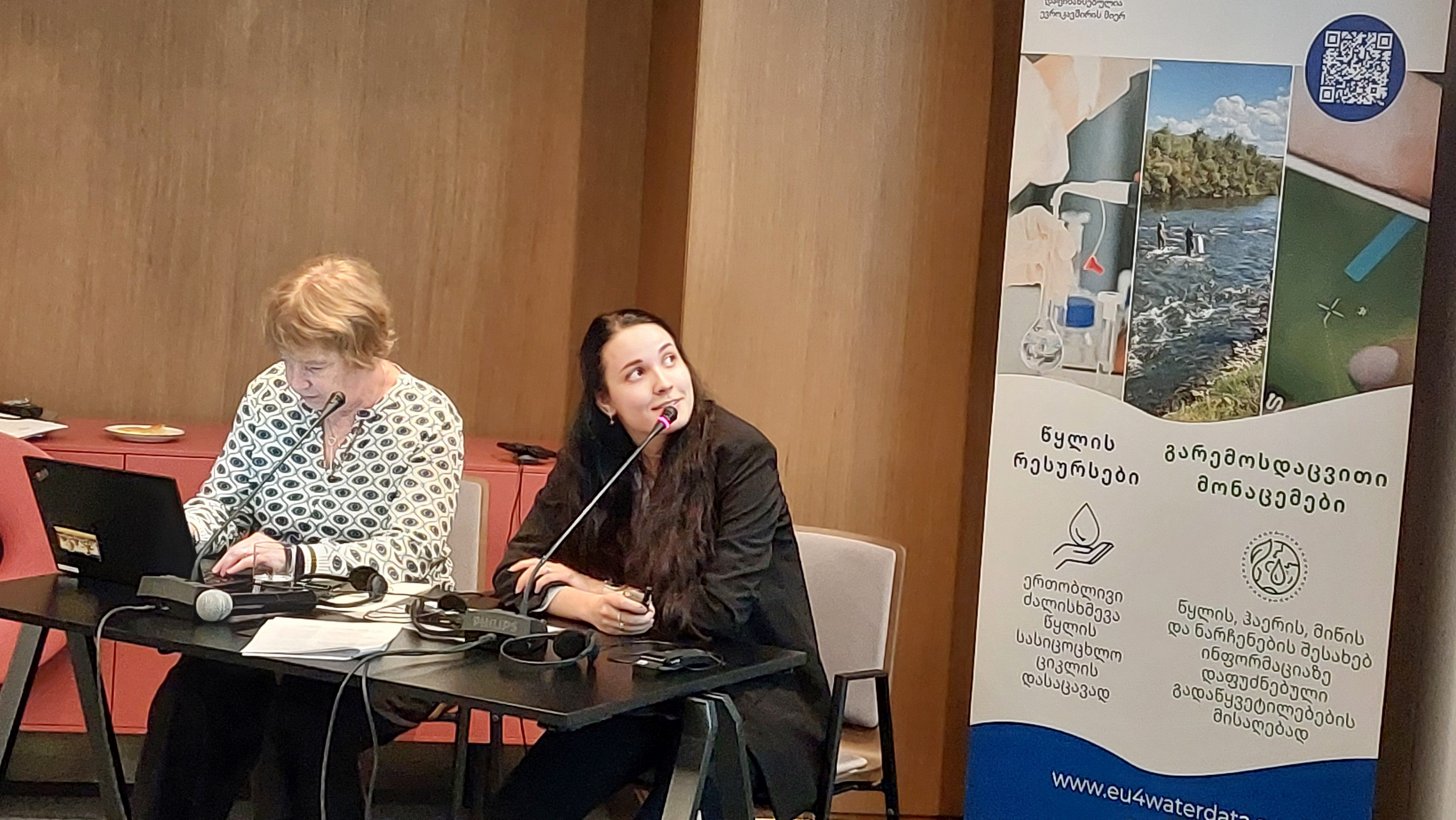
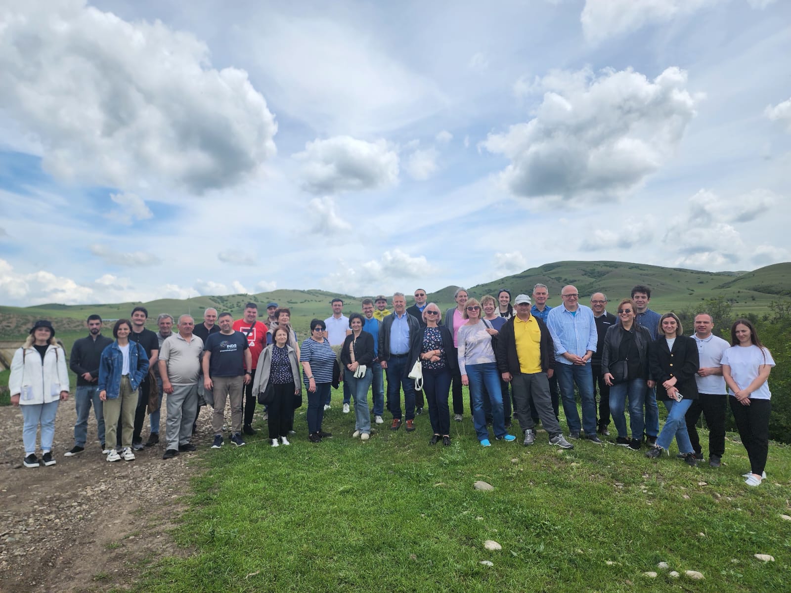
On 21 and 22 May 2024, a regional workshop on Land Monitoring and Water Accounting gathered more than 40 experts from four countries (Armenia, Georgia, Moldova and Ukraine).
The workshop, organised by the Environment Agency Austria, presented the main achievements of the EU4Environment Water and Data programme within the two thematic areas, and addressed some of the challenges and benefits encountered.
For instance, each country independently developed Corine Land Cover maps, which represent the state-of-the-art dataset on land cover and land use in Europe and provide a standardized tool for environmental monitoring across the European continent.
Furthermore, the event offered an unprecedented opportunity for discussion and collaboration among experts from different sectors and domains. After identifying the main data-related constraints in Water Accounting, possible solutions coming from Earth Observation were presented and discussed.
As an example, irrigation is the largest human intervention in the water cycle accounting for up to 70 % of freshwater withdrawals worldwide; however, the vast majority of water abstractions is not monitored. Satellite data can be used to derive dynamic and spatially continuous irrigation estimates, providing accurate data sources for Water Accounting. Similarly, it was highlighted how Earth Observation could support and complement traditional monitoring data for many other variables, such as evapotranspiration and precipitation.
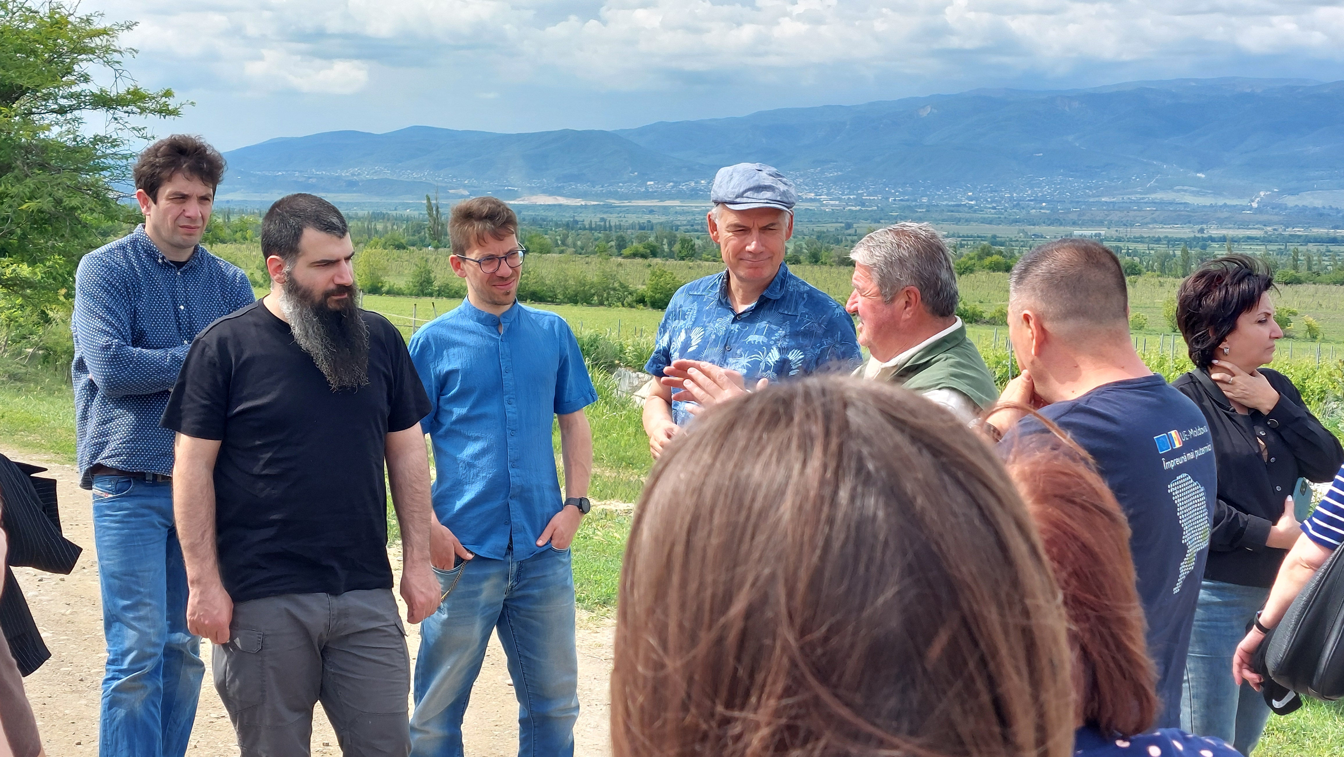
A study tour in the agricultural region of Kakheti provided practical insights into how farmers are using water resources and technological tools (e.g., use of satellite data) to maximize their yields.


